


Research
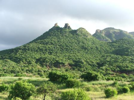
Animal censuses amongst abrupt topography
Management often bases decisions on estimates of animal density and population size. Aerial sampling is expensive whilst current ground methods, noticeably Distance sampling, assume a single detection function for each habitat and that visibility in a given habitat type declines in a smooth, increasing manner with distance from the observer. If the visibility within a habitat varies widely or is suddenly cut off, as amongst abrupt topography, these assumptions are invalidated. I developed an alternative approach, based on a Geographic Information System (GIS).
Monthly, over a two year period, I conducted repeated road transects in Ithala Game Reserve, South Africa, using GPS to record the geographic position of each sighting. These records (n = 8742) were then imported into a GIS and overlaid onto an existing habitat-type GIS layer. With the sampled area thus defined as an irregular polygon in the GIS encompassing all records, we calculated densities of each herbivore species by habitat type and extrapolated total population size estimates. Estimates of maximum population size for wildebeest and zebra correlated (+_15%) with management’s estimates based on aerial surveys, walked transects and experience. White rhino are individually counted in the reserve and my estimates (year 1: 52; year 2: 57) matched these known numbers (year 1: 50; year 2: 53). My method also yielded realistic numbers for impala, but unrealistic numbers for kudu and warthog. Thus this GIS-based census technique produced realistic maximum population estimates for abundant grazing and mixed-feeder mesoherbivores and for scarce, but highly visible, megaherbivores, but not for cryptic species. With the increasing availability of GIS data, the technique is recommended to those working in abrupt terrain frustrated by the inability of current ground census techniques, principally Distance sampling, to produce realistic population estimates.
Project Publications
O’KANE, C.A.J., PAGE, B. & MACDONALD, D.W. 2014. Conducting animal censuses amongst abrupt topography; a GIS-based alternative to Distance. Austral Ecology 39: 848-854.
-
 © Christopher O'Kane