News
Addressing land use conflicts between communities, their livestock and wildlife in Botswana
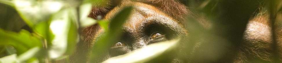
Increasing human pressure on natural resources is an issue the world over, and aligning wildlife conservation with community wellbeing often poses significant challenges. Part of WildCRU’s long-term work in the Kavango Zambezi Trans-frontier Conservation Area (KAZA TFCA) is to navigate these challenges in search of the best outcomes for people and wildlife.
This week marks an exciting step in these efforts, with the launch of an open-source Land Use Conflict Identification Strategy (LUCIS) online training platform in Botswana’s Chobe District. This is a collaborative effort between WildCRU (working through the WildCAT Botswana Trust), the Chobe Land Board, University of Florida and Ecoexist – initially piloting LUCIS in the Pandamatenga landscape, with the ultimate aim to extend across the whole District. Chobe District sits within the Hwange-Kazuma-Chobe Wildlife Dispersal Corridor which is one of the crucial links between KAZA’s National Parks, Forest Reserves and Wildlife Concession Areas. Chobe is a mixed-use landscape where an expanding human footprint is increasing pressure on resource availability for communities, their livestock and wildlife. At this first gathering, 30 participants from the Land Board and District Land Use Planning Unit started learning how to use the LUCIS platform.
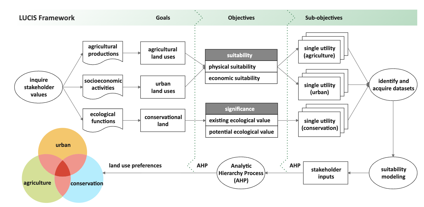
LUCIS is a GIS based toolkit specifically designed to inform land use decisions using an abundance of local information. Data such as water availability, soil and vegetation type, rainfall, fire incidence, existing infrastructure, tourism operations and wildlife movement are gathered through an inclusive process and then combined to enable informed decision-making for the benefit of all. Social as well as environmental data is included, such as culturally important sites, land-use preferences, conflict hotspots and community priorities for land allocation.
This project is supported by the Hamer Foundation, and extends for three years. The launch and initial training will be followed by an intensive week in November when the next three LUCIS training modules will go live on the system. This is exciting progress in enabling the sustainable allocation and use of natural resources while securing wildlife corridors and the populations that rely on them.
-
-
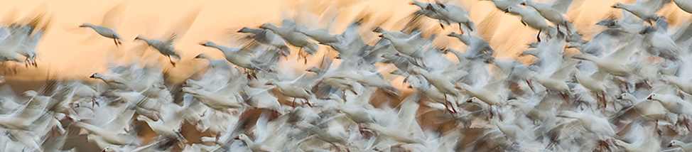
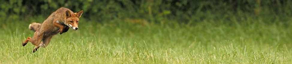
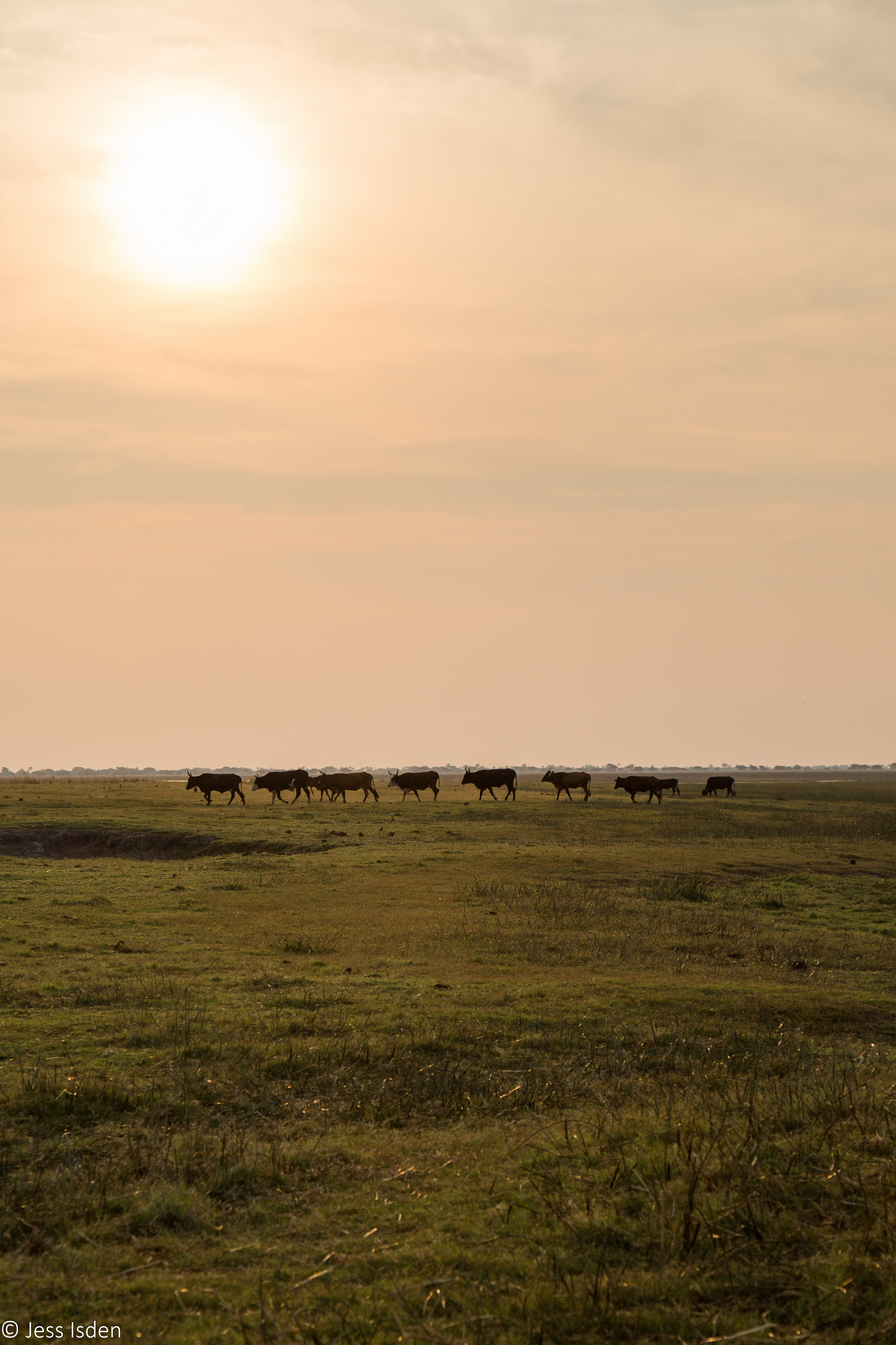
 Photos © Jess Isden
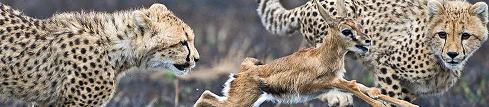
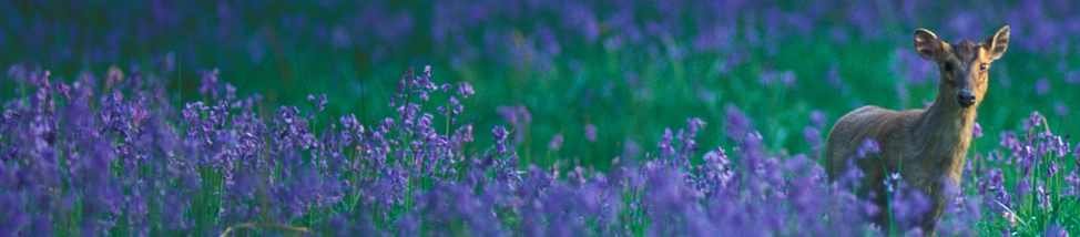
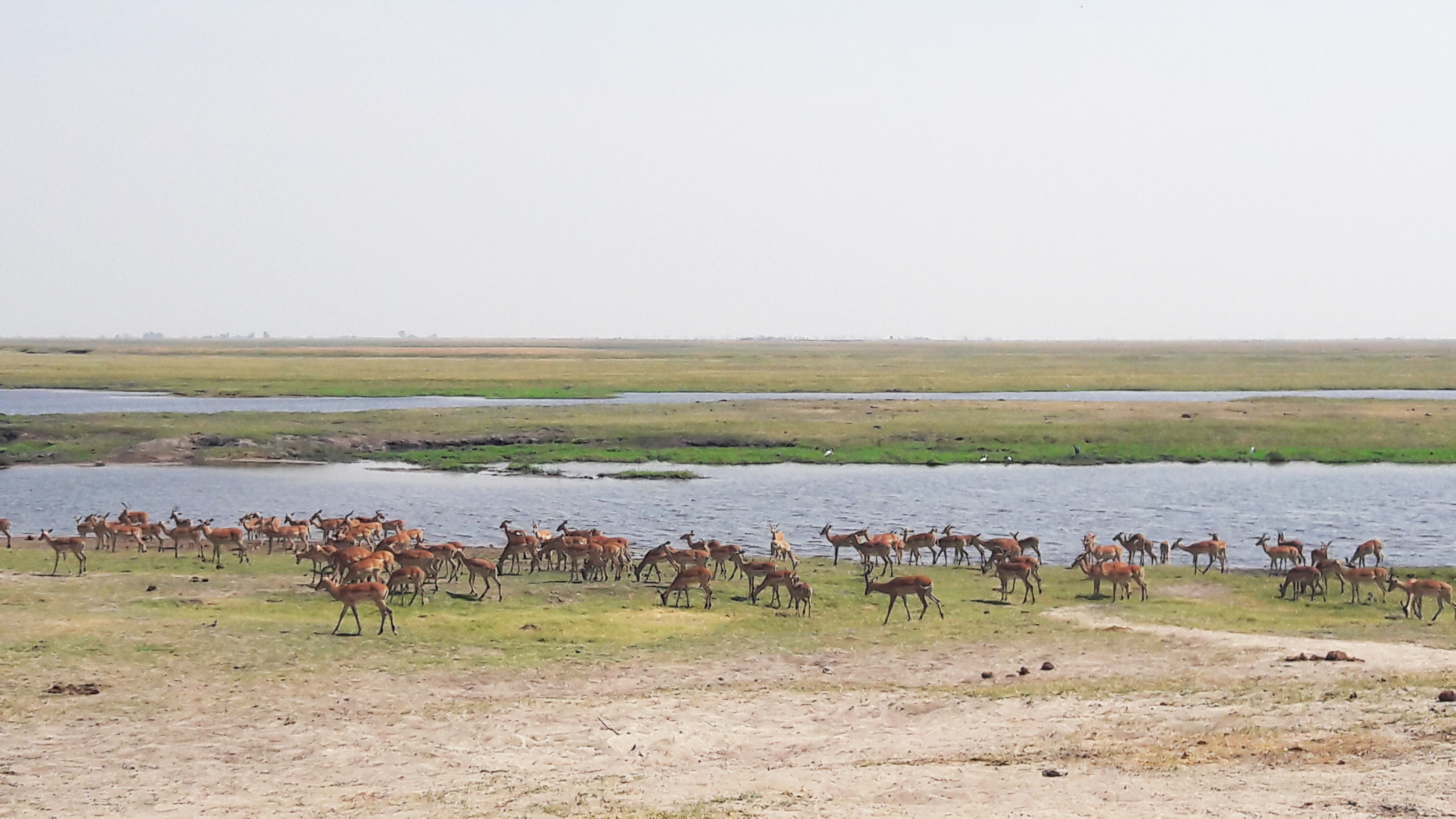