In 2022, a team from WildCRU and the WildCAT Botswana Trust, under a programme initiated by the KAZA Secretariat, set out to identify key wildlife corridors across the KAZA landscape. The aim of the initiative was to ensure that wildlife corridors could be incorporated into land use planning efforts, particularly within KAZA’s 6 key wildlife dispersal areas, to ensure that conservation and development.
CONSERVATION CONTEXT
In southern Africa, the Kavango-Zambezi Transfrontier Conservation Area (KAZA TFCA) is the world’s largest Transfrontier Conservation Area, including 5 southern African countries (Angola, Namibia, Botswana, Zambia and Zimbabwe) and spanning 520 000 km 2. This area encompasses 26 protected areas and was established with the goal of improving local livelihoods and maintaining connectivity for wildlife between protected areas. The lack of integrated land use planning and ribbon development of settlements with associated subsistence agriculture is the biggest threat to maintaining connectivity in this landscape. The resulting habitat loss, and where land use is poorly suited to the area, degradation of habitat, will be detrimental to both people and wildlife connectivity in the long-term.
To address the management of these issues, the KAZA landscape is divided into six wildlife dispersal areas (WDAs), identified as critical areas for the movement of wildlife across the region. Consequently, the KAZA Secretariat in collaboration with the KAZA partner states, created an initiative to identify critical multi-species wildlife corridors across the landscape, with the goal of creating transboundary and cross-sectoral collaborations to secure these corridors in the face of pending development, and ensure that corridors are included in all future land use planning initiatives.
APPROACH
Globally, land-use planners and wildlife management decision makers are increasingly using landscape ecology models to guide management activities. Habitat suitability models derived from spoor and camera trap surveys conducted by multiple partners across the KAZA landscape were used to develop resistance surfaces that depict the ease with which species can move through the landscape. To model connectivity, using a programme called UNICOR, factorial least-cost path modelling and cumulative resistant kernels (estimating kernel movement density) methods were applied to 1) identify key dispersal corridors across the landscape and 2) identify core wildlife areas of high movement density for the focal species. The single species corridors and kernel density estimates, representing lion, leopard, African wild dog, spotted hyena, elephant, zebra and buffalo, were then summed to represent multi-species core areas and dispersal corridors, from which we derived the most important multi-species corridors.
In addition to identifying corridors, the modelling also allowed for identification of human-wildlife conflict hotspots. Models were assessed for areas where there was a rapid change in resistance from low resistance within core areas to high resistance to movement due to human influence. This highlighted areas, often on the borders of national parks and wildlife management areas, where species come into conflict with people, and where conflict mitigation strategies need to be emphasized. Supplementary wildlife data including anecdotal movement data and human wildlife conflict incidents verified both multi-species corridors and conflict hotspots identified.
Lastly, to ensure that multi-species outputs could continue to be used in conservation and development planning, WildCRU teamed up with collaborators from NASA and Northern Arizona University, to introduce a user-friendly toolkit, known as the Connecting Landscapes (CoLa) Decision Support System (DSS) tool, to allow stakeholders to easily and efficiently model the potential impact of landscape or development changes on the long term viability of these corridors, to ensure that conservation and development are synergized across the KAZA landscape.
IMPACT HIGHLIGHTS
Produced multi-species connectivity models for 3 large herbivore and 4 large carnivore species using more data points, one of the largest combined research datasets for this area of Africa.
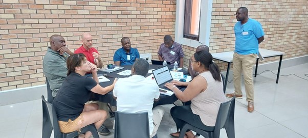
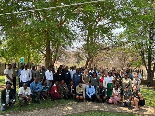
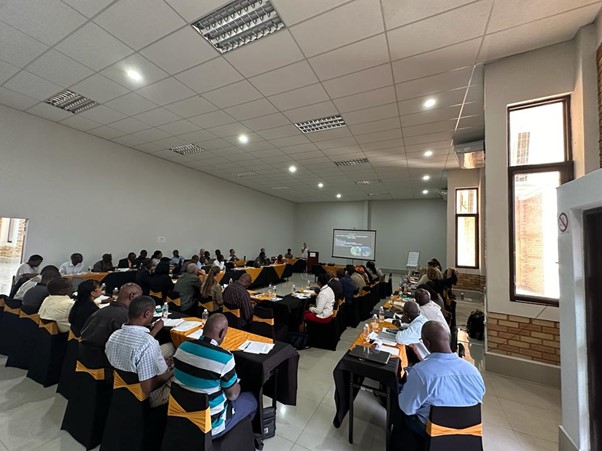
Workshop held with government, non-government and community stakeholders across three of the five partner states to determine how corridor protection could be included in local conservation and community projects.
PROJECT MEMBERS
Dr Robynne Kotze is Project Coordinator, Lynn Fanikiso is the GIS expert, Dr Lara Sousa is a post-doctoral researcher and lead statistician, and Prof. Andrew Loveridge is Director.
Partners in the introduction of the CoLa DSS include Dr Patrick Jantz from Northern Arizona University, PhD student Ivan Gonzalez from Northern Arizona University with support from Beth Hahn from the United States Forest Service and Cindy Schmidt from NASA.
PROJECT PARTNERS AND FUNDERS INCLUDE: